Many moons

It has been many moons since I have last updated this journal. I would like to blame lockdown but in truth it has been more from a lackluster appetite to write my thoughts down somewhere.

So why now?

It bothers me that I would just simply give up on journaling here, as I don’t write much anywhere else now, although I have amassed a lot of tweets that I send and then delete as they are often directed at people who don’t really deserve the negative remark that I make.

It appears that any time that I used to spend writing here is now directed into learning Dutch. I am not sure that there is any other activity that I have done everyday for this amount of time, at current time of writing it is now 557 days. Duolingo like to encourage you with images such as:

I am thinking that I will try and update this a little more often, really with a view of taking photographs again as that is an activity that I have missed a lot in the past many moons.

AGI Scotland Annual Event

I have just returned from what was a very interesting day at the annual meeting of the Association for Geographic Information, held at the Lighthouse in Glasgow. The AGI primary focus is to maximise the use of Geographic Information (GI) for the benefit of the citizen, good governance, and commerce. There was a whole host of talks surrounding two key themes:

- Data Security & Ethics
- Application of Geographic Information  

I attended the application of GI presentations and the two that I enjoyed most were:

Some Like it HOT, given by David Frankland from thinkWhere. The presentation surrounded the HOT tasking manager. The Tasking Manager is a mapping tool designed and built for the Humanitarian OpenStreetMap Team's collaborative mapping process. The purpose of the tool is to divide up a mapping project into smaller tasks that can be completed rapidly with many people working on the same overall area. It shows which areas need to be mapped and which areas need the mapping validated. Anybody can join this mapping effort and right now there is a particular need for mapping to be completed in Papua New Guinea after an earthquake set off mudslides. Helping mapping these areas will be vital for rescue and aid agencies. Anybody can help from novice to advanced mappers! 
 

Philip Taylor from the Centre for Ecology and Hydrology provided a informative and humorous presentation on New Ways to Communicate GI data. The part that really caught my attention (apart from the Bloomin' Algae application) was the Edinburgh Tree Map (which is being expanded to other parts of the UK). Have a look at this wonderful map, the data was provided by Edinburgh Council which made all their Tree Data available for free and online! The map tree was inspired from these maps of LondonMelbourne and particularly New York, the question was asked: "Can we do that for Edinburgh?". A fantastic achievement for Edinburgh! Now I know where I can get all the good Cherry Blossom photographs in the spring!

QGIS

I attended a course on "QGIS Conversion Training" on Friday, run by EDINA at The University of Edinburgh. For those that don't know QGIS (Quantum Geographical Information System) is an open source alternative to ESRI's ArcGIS.

Over the last few years QGIS has become more popular, partly as it is now as powerful as ArcGIS and partly due to it being open source (therefore free). Many companies are now switching to it as it doesn't require long term costly contracts with ESRI, and it runs on all the major Operating Systems (Windows, Mac OS X and Linus).

The course was excellent and although I have had previous experience of QGIS this course really filled in a lot of gaps, it covered:

  • Setting up QGIS
  • Working with Data
  • Creating Data
  • Geoprocessing
  • Advanced Visualisation.

I was pleasantly surprised at how good the course was, how well run and how well presented it was. It was quite possibly the best course I have been on. EDINA will be running this course again in the future, if you are interested get in touch with Tom Armitage, who will be able to give you more information about the next date that the QGIS course will take place and costs associated with it.

I would like to say thanks to Bruce Gittings and Tom Armitage for their hard work on the day!

Graduation

I graduated from The University of Edinburgh on Monday with an M.Sc. in Geographical Information Sciences. I have always felt a bit overwhelmed at the pomp and circus that is the graduation ceremony. It is a time honoured ceremony that is a celebration of completing a course. Celebrating the commitment and hard work that allows the conferring of the academic (in this case) degree. The graduation was at the Usher Hall as the McEwan Hall, where The University of Edinburgh usually has graduation, is undergoing renovation.

I think I find graduation overwhelming as it is nerve-wracking crossing a stage in front of over a few thousand people, trying hard to remember how to walk normally.

I thought I would post a few of the photographs that I took on the day and a couple from friends timelines.


Edinburgh University Class of 2016 GIS / Earth Observation / GIS & Archeology

Kerst and myself.

Maria looking thoroughly delighted!

Nick, Will and Maia discuss the finer points of Python.

Ryan gives the ceremony the thumbs up.

The parental units and myself.

The published list.

Professor Bruno Labour's speech after receiving an honorary degree.

Belated Canadian Thanksgiving

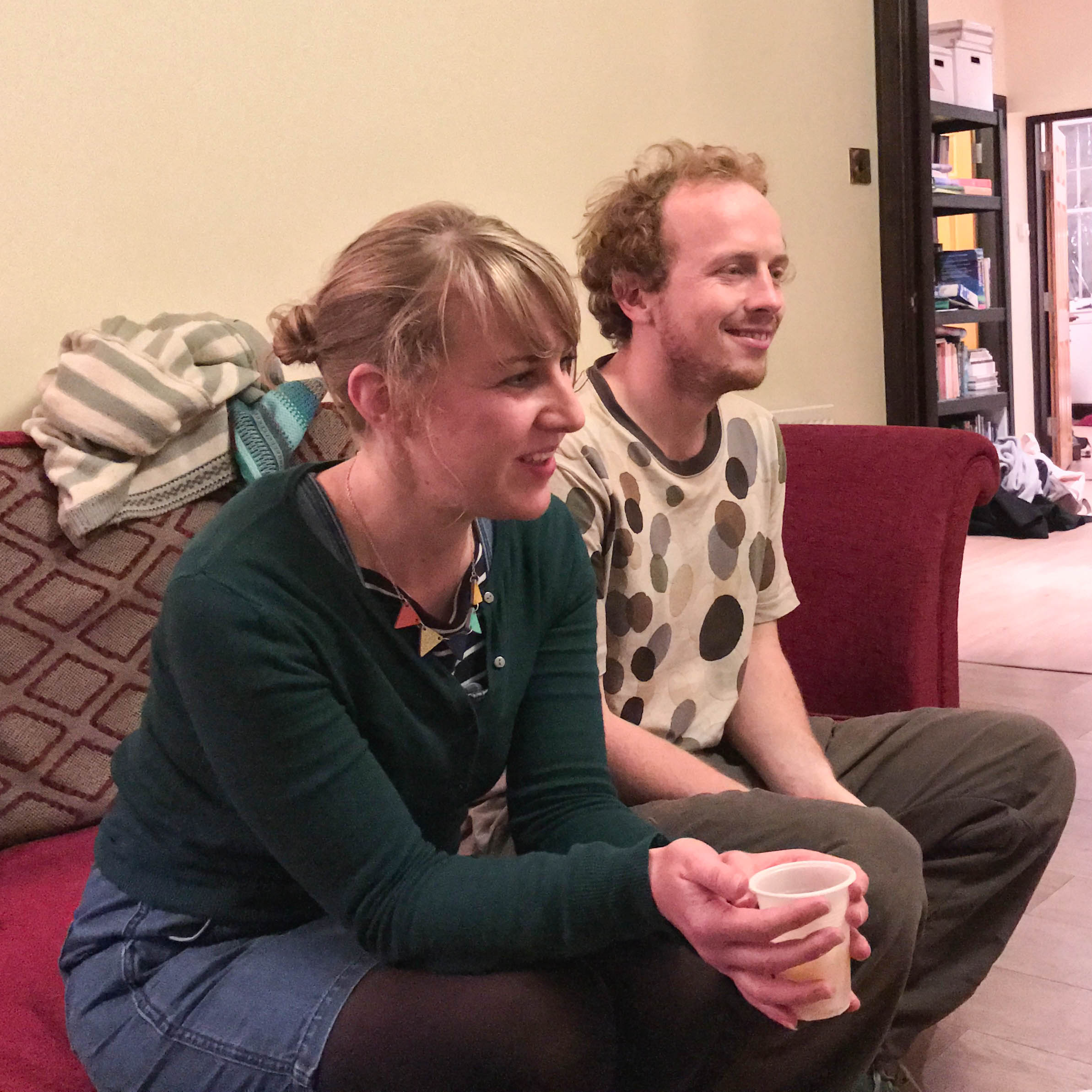
Thanksgiving Day (Canada) occurs on the second Monday of October, our M.Sc. class celebration was a little belated but this didn't stop the celebration going ahead on the 16th of October instead. 

I took a few candid photographs during the evening and these are the shots that are safe for public consumption. I'll apologise here for the shocking standard of these photographs but to be fair there was a lot of whisky and wine going around (but at least I didn't take part in the 'buck fast tasting').

It was a nice evening to mix with the new class as well as catching up with my own class from the M.Sc. course. It's great to hear where my fellow classmates are now working and their new experiences at the forefront of GIS.